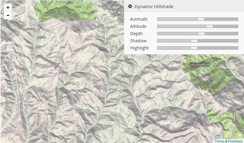
Hillshading
Problems:
Tags:
Hillshading is shadows drawn on a map to simulate the effect of the sun's rays over the varied terrain of the land.
Hillshading is the hypothetical illumination of a surface according to a specified azimuth and altitude for the sun. Hillshading creates a three-dimensional effect that provides a sense of visual relief for cartography, and a relative measure of incident light for analysis.
Source: [ESRI GIS dictionary](http://support.esri.com/en/knowledgebase/GISDictionary/term/hillshading)