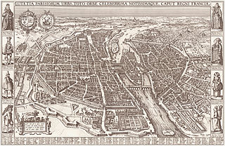
Pictorial map
Problems:
Tags:
Pictorial maps are a category of maps that are also loosely called illustrated maps, panoramic maps, perspective maps, bird’s-eye view maps and Geopictorial maps amongst others. In contrast to the regular road map, Atlas or topographic cartography, pictorial maps depict a given territory with a more artistic rather than technical style.
Source: Wikipedia – [Pictorial maps](http://en.wikipedia.org/wiki/Pictorial_maps)
