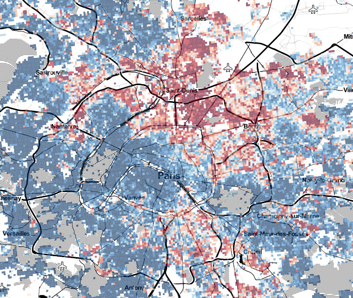
Raster map
Problems:
Tags: statistics
A raster map is a data layer consisting of a gridded array of cells. The use of raster maps is known for the advantages they bring to geospatial data visualization : smoothing, gumming of administrative boundaries, combination of several accuracy levels on a same map, etc.
Source: [Les Cahiers de l’IAU îdF n° 166 - octobre 2013](http://www.iau-idf.fr/debats-enjeux/representer-les-territoires-et-les-projets.html)
See also: