Slider
Problems: compare
Tags:
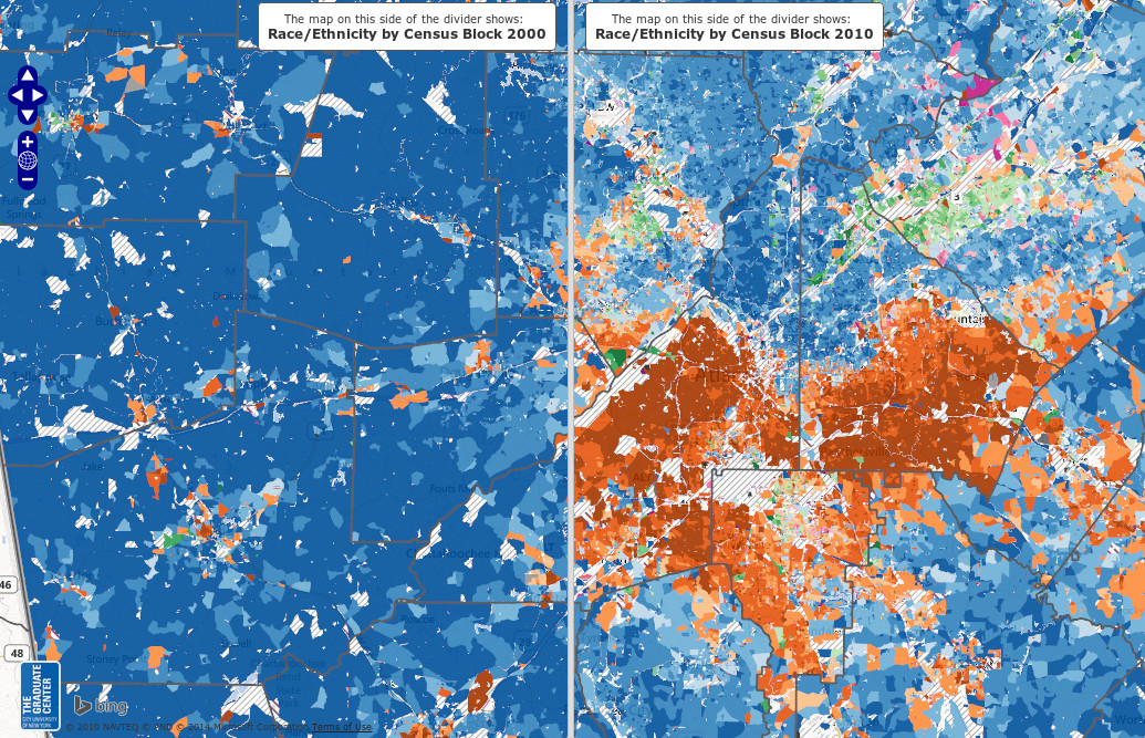
Sliders are typically used to compare geo data on maps between two moments in time, or to compare two sets of geo data or photos.
Examples
Ethnicity Trends in the Atlanta Area, 2000 to 2010
See also:
- The changing city at the sweep of your mouse: Block by block demographic changes mapped across New York, 2000 to 2010
- http://www.urbanresearchmaps.org/plurality/
- http://spatialityblog.com/2011/08/01/innovative-map-comparisons-census-change-in-15-cities/
- https://twitter.com/SR_spatial
- https://www.mapbox.com/blog/swipe-layers/
- presentation by Charlotte Hoarau
- swiss topo
- nasa
- geobretagne
