Transit map
Problems: relate
Tags: topology
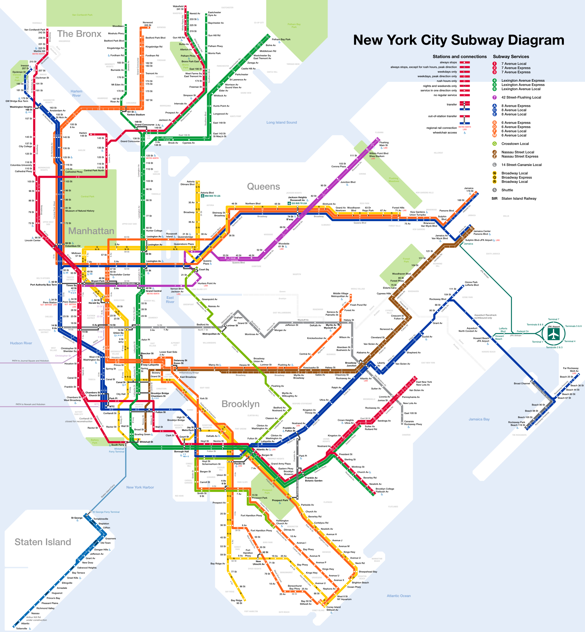
A transit map is a topological map in the form of a schematic diagram used to illustrate the routes and stations within a public transport system—whether this be bus lines, tramways, rapid transit, commuter rail or ferry routes. The main components are color coded lines to indicate each line or service, with named icons to indicate stations or stops.
Source: [Wikipedia](http://en.wikipedia.org/wiki/Transit_map)